
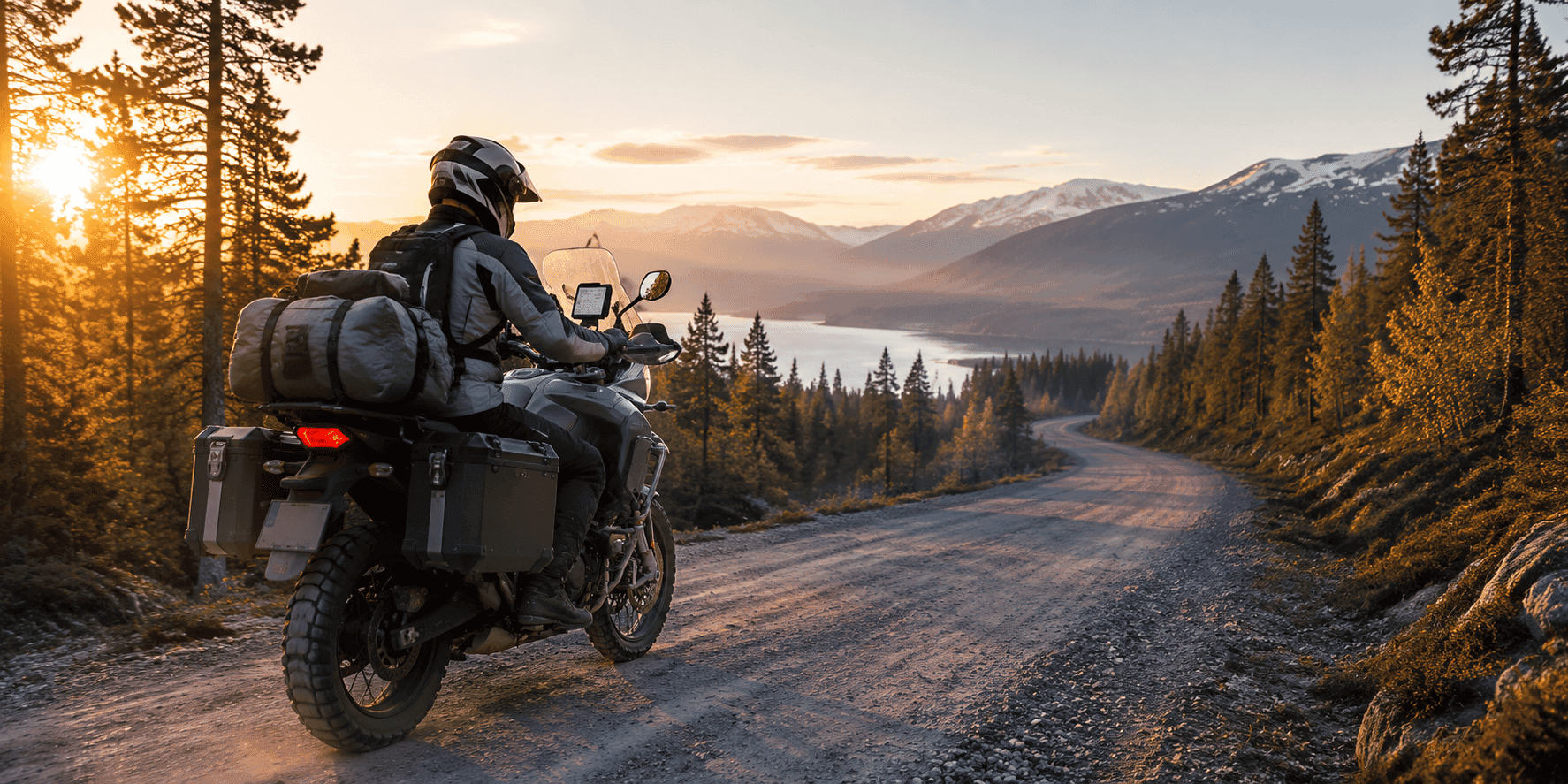
The best off-road navigation apps for motorcyclists need to do more than calculate a conventional route to a destination. On gravel roads, forest trails and mountain tracks, automatic recalculation can unexpectedly send you back towards the tarmac. Sometimes you need to follow an existing GPX track as a fixed line on the map, while on other rides you may want to discover new unpaved roads. All of this also needs to keep working when there is no mobile signal.
That is why there is no single best off-road navigation app for every rider. One app excels at route planning, another offers detailed topographic maps, while a third works best as a robust cockpit during long adventure or TET rides. In this guide, we compare the most useful off-road motorcycle navigation apps for Europe.
What should a good off-road navigation app offer?
Off-road navigation involves more than following a blue line and listening to turn-by-turn instructions. On remote routes, a stable and readable map is often more valuable than an automatically calculated detour. At a minimum, look for the following features:
- offline maps and navigation without mobile coverage;
- the ability to import GPX tracks and follow them accurately as a fixed, uncalculated line;
- clear information about gravel, unpaved roads and small trails;
- topographic details, contour lines and, where useful, satellite imagery;
- a map that remains easy to read while standing on the pegs;
- a practical way to find an alternative when a track is closed or blocked.
Remember that no app can guarantee that an unpaved road is legal to use, currently open or rideable in the prevailing conditions. Map data may be out of date, and the weather can quickly transform an easy gravel road. Always respect current signs, gates and local regulations.
Stegra: built for bends, gravel and adventure
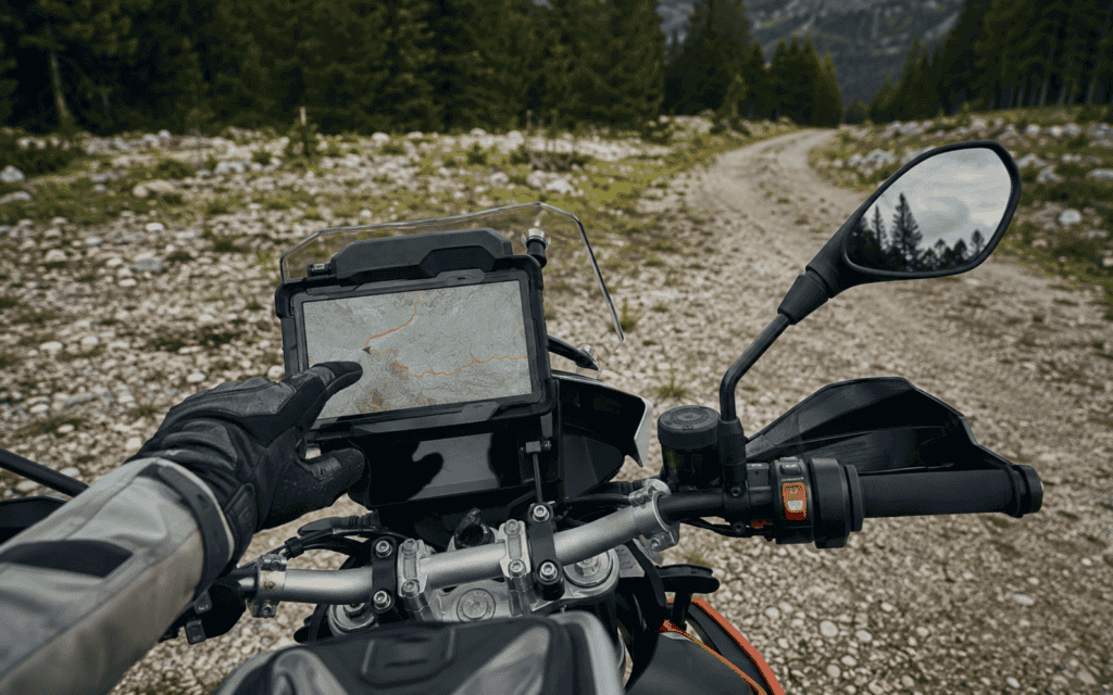
Stegra is a Swedish navigation app developed specifically for motorcyclists. It combines winding tarmac roads with gravel and unpaved sections, making it particularly interesting for adventure riders who want to create mixed-surface routes rather than simply follow an existing track.
Different road types are visually distinguishable on the maps, and the route planner includes modes for gravel, unpaved and winding roads. You can prepare a route in the web planner and then use it on a phone or tablet. Stegra supports offline navigation, GPX import, Android Auto and Apple CarPlay.
Best for: riders who want to plan their own gravel and adventure routes while also using paved connecting roads.
DMD2: a complete off-road cockpit
DMD2 goes beyond navigation alone. This Android app is designed as a complete cockpit for adventure motorcycles, enduro bikes and rally riding. In addition to topographic offline maps and robust GPX display, DMD2 offers features such as roadbook support, configurable dashboards and connections to handlebar controllers, tyre-pressure sensors and motorcycle data.
The app works best on a rugged Android phone or navigation tablet permanently mounted on the motorcycle. GPX files can be loaded, managed and followed safely as uncalculated tracks. For riders who regularly travel off-road, operation with gloves or a handlebar controller is a major advantage.
Best for: serious adventure, rally and TET riders who want a complete navigation setup on the motorcycle.
OsmAnd: highly configurable and fully offline
OsmAnd uses OpenStreetMap data and is well known for its detailed offline maps. You can import GPX tracks, display them as a thick contrasting line over the map and use them for navigation. Map styles, contour lines and road characteristics can also be extensively customised.
OsmAnd’s greatest strength is also its main drawback: it offers a huge number of settings and can demand a reasonable amount of processing power from your phone. Configure it properly before departure and it becomes a powerful navigation tool for almost anywhere in Europe. Start using it without preparation and the interface can initially feel overwhelming.
Best for: riders who want maximum control over offline maps, GPX tracks and map presentation.
Locus Map: strong for map research and route preparation
Locus Map started as a broad outdoor app, but it is also highly useful for off-road motorcycling. It offers a wide range of online and offline maps, route planning, track recording and GPX import. During planning, it can show details such as the elevation profile, road surface and way type.
When automatic routing does not follow the path you need, you can draw parts of the route manually using straight lines. This is helpful when paths are missing or incorrectly connected in the underlying map data. Locus Map is particularly strong for riders who want to research their route in considerable detail before leaving.
Best for: detailed route preparation, topographic maps and manually correcting an off-road route.
Wikiloc: discover routes shared by other off-road riders
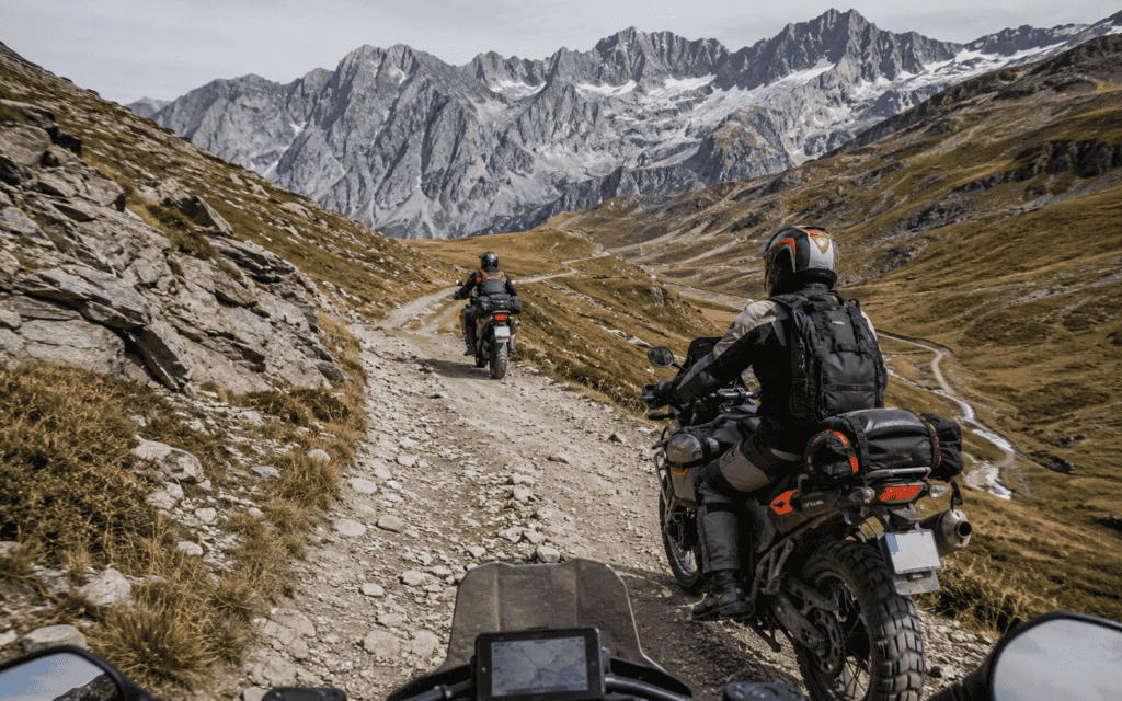
Wikiloc stands out because of its enormous collection of user-submitted routes. Categories include off-road, enduro and trail bike. Routes often include photographs, elevation data, comments and a general difficulty rating, making Wikiloc useful for finding ideas in areas you have never ridden before.
The quality of community routes varies. A track may be old, a trail may now be closed and the stated difficulty is always subjective. Treat Wikiloc primarily as a source of inspiration and check every downloaded track before setting off.
Best for: discovering and following existing enduro, trail and dual-sport tracks.
Radalla: straightforward GPX and TET track navigation
Radalla is a Finnish mapping app for enduro, adventure and road riders, among others. Its main purpose is the straightforward import, display and following of GPX tracks. The app is also positioned towards riders following TET routes in Finland, Sweden and Norway.
Radalla is less extensive than DMD2, OsmAnd or Locus Map. That can be an advantage when you simply want to put a track clearly on a map without working through dozens of settings. Check in advance whether the app and the maps you need are available for your phone.
Best for: straightforward GPX track navigation, particularly during off-road rides in Scandinavia.
TwoNav: for riders who work with different maps
TwoNav focuses on outdoor and off-road navigation and forms an extensive ecosystem together with its LAND software. Routes can be created and analysed in advance and then transferred to the app or a TwoNav GPS device. The system supports topographic maps, routes, tracks and waypoints.
TwoNav is especially interesting for experienced users who combine multiple map sources or use a dedicated GPS unit alongside the app. For a rider who only wants to open a TET track quickly, the system may be more extensive than necessary.
Best for: advanced route planning and riders who want to combine an app, desktop software and GPS hardware.
AlpineQuest: powerful offline maps for Android
AlpineQuest Off-Road Explorer turns an Android device into an advanced off-road GPS. The app supports offline topographic maps, elevation data, relief and slope information, as well as numerous local map formats. GPX, KML and KMZ files can be imported and exported.
AlpineQuest is technical and map-focused. It is particularly interesting for remote mountain regions and trips where you want to remain completely independent of mobile coverage. Its interface is less specifically designed for motorcyclists than those of Stegra or DMD2.
Best for: Android users who prioritise extensive offline topographic maps and terrain layers.
Organic Maps: free and refreshingly simple
Organic Maps is a free, ad-free and privacy-friendly mapping app based on OpenStreetMap. Maps can be downloaded in advance, and the app supports the import of GPX, KML and KMZ tracks.
Organic Maps is not a specialist off-road route planner. It is primarily a simple way to keep an existing track visible on an offline map. When you use the imported track solely as a fixed line to follow, you avoid an automatically calculated route unexpectedly directing you back towards the tarmac. This also makes Organic Maps a useful backup alongside a more advanced primary navigation app.
Best for: following a previously checked GPX track simply and free of charge.
Kurviger: combine tarmac with light gravel
Kurviger is primarily a route planner for winding motorcycle rides. It can nevertheless be useful for adventure riders who want to combine tarmac with easy gravel roads. During planning, you can set preferences for unpaved roads and import or export GPX files.
DMD2, OsmAnd and Locus Map are better suited to technical off-road use. Kurviger works best for routes that are mainly on-road but deliberately include a few unpaved connecting sections.
Best for: combining winding tarmac roads with light gravel and adventure sections.
Which off-road navigation app is right for you?
| Use | Best choice |
|---|---|
| Planning gravel and adventure routes | Stegra |
| Complete Android off-road cockpit | DMD2 |
| Maximum control over offline maps | OsmAnd |
| Detailed preparation and manual drawing | Locus Map |
| Discovering routes shared by other riders | Wikiloc |
| Simple navigation in Scandinavia | Radalla |
| Combining your own maps and GPS hardware | TwoNav |
| Topographic Android solution | AlpineQuest |
| Following a GPX track for free | Organic Maps |
| Combining tarmac with light gravel | Kurviger |
In practice, a combination of apps often works best. You could use Wikiloc to discover routes, Stegra or Locus Map to prepare one, and DMD2, OsmAnd or Organic Maps to follow the final GPX track while riding.
Check a GPX track before you leave
A line on a map tells you very little about what you will actually encounter. A route may consist of well-maintained gravel, but it could also include sand, mud, grass, rocks or a barely visible trail. Before departure, check how much of the route is unpaved and which surfaces you are likely to encounter.
Large GPX files, such as complete TET routes, may be processed more slowly by some navigation apps. Use the TET GPX Splitter to divide these files into manageable sections. You can then use the MM Offroad Checker to examine the likely surfaces along your route and the MM Route Checker to identify possible road closures, restrictions or closed mountain passes.
Finally, download your maps and GPX files at home, put your phone into aeroplane mode and test whether the route remains visible and usable. On longer off-road rides, it is sensible to carry a second navigation app or a separate GPS device as a backup.
Conclusion
For European adventure and off-road riders, Stegra, DMD2, OsmAnd and Locus Map are the most complete solutions. Wikiloc is strong for finding existing tracks, while Radalla is particularly interesting for straightforward GPX navigation in Scandinavia. TwoNav and AlpineQuest cater to riders who value detailed maps, and Organic Maps is an excellent free backup.
Whichever app you choose, never blindly trust a calculated route or an unfamiliar GPX line. Check the track in advance, respect local rules and turn around when a trail is closed, prohibited or clearly beyond your ability.
Frequently asked questions about off-road navigation apps
DMD2 and OsmAnd are strong choices for following an existing TET track offline. DMD2 is particularly suitable as a complete Android cockpit on the motorcycle, while OsmAnd offers more settings and control over the map display. Stegra is interesting when you want to combine the TET with self-planned gravel and tarmac sections.
Yes. Apps such as DMD2, Stegra, OsmAnd, Locus Map, AlpineQuest and Organic Maps can use maps and GPX tracks downloaded in advance. Download the required map areas at home and test the navigation in aeroplane mode before departure.
All the apps in this guide support the use or import of GPX tracks, although their workflows differ. DMD2, OsmAnd, Locus Map and AlpineQuest provide extensive track functions. Organic Maps and Radalla are simpler when you mainly want to follow an existing line on the map.
No. A community track may be outdated or cross a road that is now closed, privately owned or temporarily impassable. Check the route beforehand and always follow current signs, gates and local regulations while riding.